 |
| (Mt)Gyojagamori. |


I took a side street that lead me past this small vermilion-colored Torii, then up this narrow avenue lined with a collection of religious icons. At the top was a bridge that was decorated with wooden Ema plaques. If I had taken the course through the shrine grounds, I would have missed these.

 A rocky & weatherbeaten track led me to a path that took me through this avenue of Torii and, as I zigzagged my way uphill, I arrived at this lone Torii & Setsumatsusha. I had arrived at Iwaya-jinja. I think this auxiliary shrine was connected to the much larger shrine, that bore the same, down below. Judging by the amount of people entering the lower Iwaya-jinja, I would say it has some importance significance so, to arrive at this site, and have it all to myself, made it more appealing to me.

After descending from Iwaya-jinja, I was now to make my first serious ascent of the day and, hopefully, my first viewpoint - (Mt)Gyojagamori. I assumed the track, at some stage, had provided vehicular access into the forest but, as I made my ascent, it soon petered-out to become a hiking path. Just over an hour after leaving the station, I arrived at my first junction.
 |
| Map Location. |
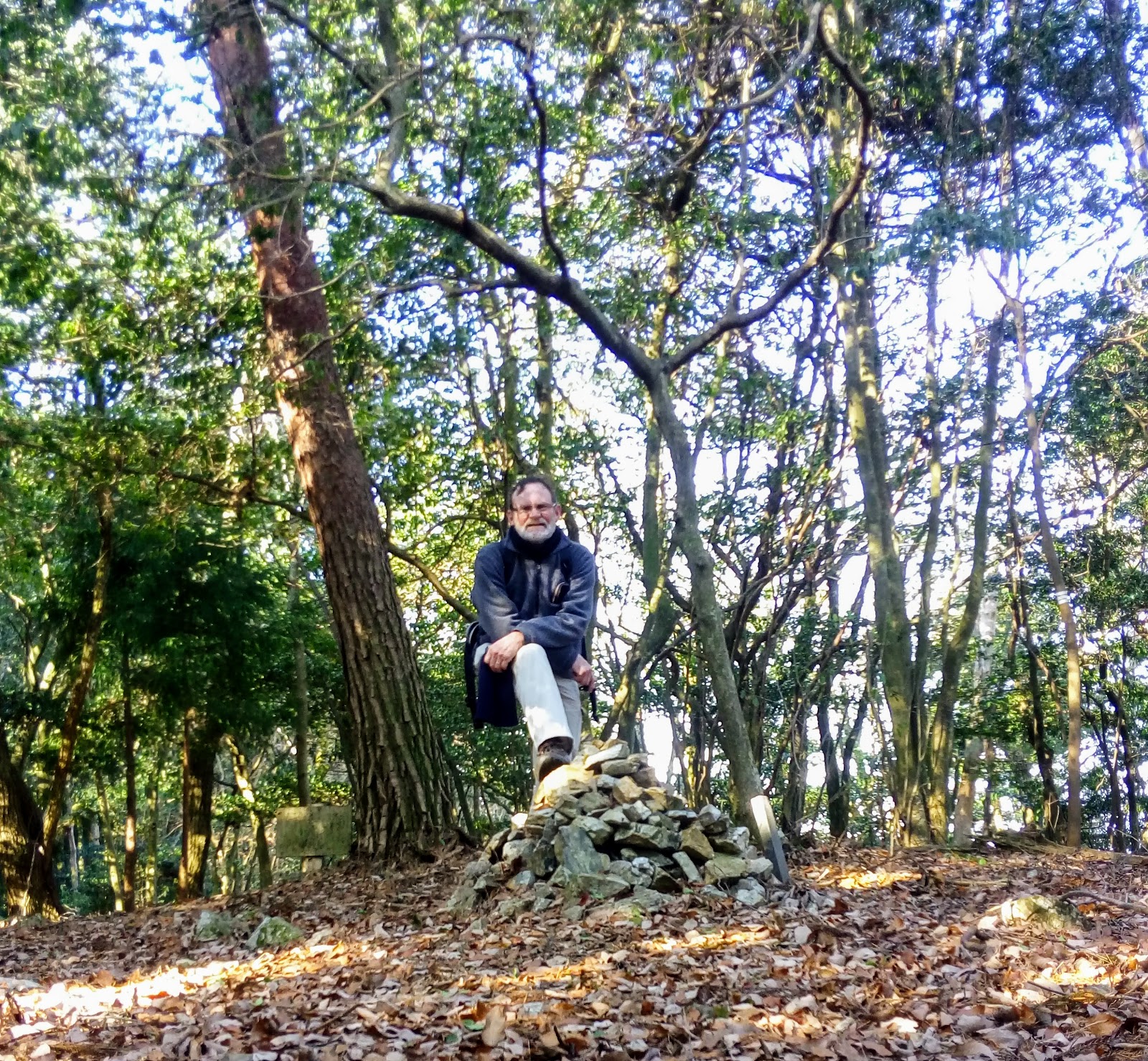
From here I took a detour to Gyojagamori and, during the following 10-minutes, I was to discover other tracks in the area, which surprised me, as my map showed this as a no-exit. A pile of rocks, and a small sign, informed me I had arrived at the summit, but sadly there was only a limited view.I was hoping, if the summit wasn't shrouded with trees, I would have taken a break and had a drink & banana. With their being no sun, it was chilly, so I decided to return and move-onto my next mountain summit - (Mt)Ooyakeokuyama.
 My next junction was just a hundred-meters or so further on and, according to the sign, the summit was just a stones-throw away. Along the way I encountered this collection of fungi, impressive. After about 15-minutes I became concerned that I hadn't reached the summit and wondered if I had taken the wrong track. Then the track, and the markings, suddenly ceased to exist. I spent 5-minutes checking-out some possibilities but, to err on the side of caution, I cut my losses and u-turned and headed back to my planned route.
 A kilometer further on I arrived at this junction. It was almost a month ago I passed-through here on my first excursion into the area (blog post). I was now in familiar territory. From here I would descent through the forest and emerge at the Ushiozanhougon Temple and, what I hoped, a well deserved lunch break.But, before that . . . .
. . . . I needed to navigate my way down a very slippery and treacherous track. Unlike the last time I was here, where there were patches of snow lying about, today the ground was bare but, in it's place, was ice that was nearly impossible to walk on. I would encounter more of this further on.


Ushiozanhougon Temple, like the last time I was here, was again bathed in sunshine with a strong cold wind blowing. It was so cold the water in the basin at the Chozuya was frozen solid. As it was still early, I decided to forgo having a lunch-break here and moved on to my next destination - (Mt)Ushiosan.

 A little further along I arrived at this junction. The sign in the background of this image, directs the hiker to their next destination, which includes Ishiyamadera Temple, the two (Mt)Chitodake mountains and eventually Upper Daigo-ji Temple. The sign in the foreground points the hiker to Ushiosan (where I have just come from) and downhill to the Ishiyamadera Station (where I am headed). My descent from this point was extremely hazardous, more so from what I experienced earlier. The path was a flight of steps where the treads were covered in a layer of ice. Although there was a wooden rail to hold on to, the posts were rotten and unable to sustain my weight, so I took an alternative course that ran parallel to the steps, where I was able to rely on small trees to prevent me from slipping and falling.
After safely navigating my way down I arrived at this clearing, where it was shaded from the wind with the sun streaking-through the trees. With a wooden bench to sit on, I had finally found my ideal spot for a lunch-break. It was just on midday, and I had been walking for four hours. As I was doing good time, and I had an idea where I was in relation to my goal, I was in no hurry.


Within my immediate vicinity there were two points-of-interest that captured my attention. Immediately behind where I was sitting, was this waterfall where the water was frozen. It was the first time I had seen such a phenomenon like this before and I was very impressed by it. Just nearby was this collection of, what I assume, religious icons. Again I was impressed, not just at the articles, but their location.


 |
| Map Location. |
As I made my way through the concrete Torii, and up the steps that lead to the Chikatsuo-jinja Shrine, the odor of freshly roasted coffee permeated through surrounding area, that came from a small cafe opposite the entrance. After checking-out the shrine, I would return here for a hot brew.
 The shrine was made famous because, back in 1690, the Haiku Poet 'Matsuo Basho' resided here, albeit for only four-months.
Throughout the grounds are several rocks with some of his works inscribed on them.

 |
| Add caption |
In a corner of the shrines complex, is a path leading up a short flight of steps to the 'Genjuan Hut', the lodge where Basho resided during his stay here. The hut was rebuilt in 1991 to what, I assume, was it's original condition when Basho resided here. It is small inside but, a quiet wander through one gets the feeling that there isn't a more suitable location to sit and compose poetry.


After a quiet stroll through the surrounding garden, I moved onto a temple that was located atop a hill that overlooked parts of Otsu City. It wasn't much of a view, thanks in part to the light snow that was falling, which reminded me that I needed to find somewhere to shelter. And, what better place -

 |
| Add caption |
The 'Beans' coffee shop (an appropriate name) is a quaint establishment that serves only fresh roasted coffee & tea, it's main business being coffee to take home and brew. By the time I finished my cup, the snow had stopped and the sun reappeared.


From the 'Beans Cafe' my next destination would be the Keihan Ishiyamadera Station. The station is the terminus of the Ishiyamadera Sakamoto Line and services those wishing to visit the Ishiyamadera Temple, one-kilometer along the road - if looking for a temple to check-out, and are partial to gardens, then I recommend this complex.
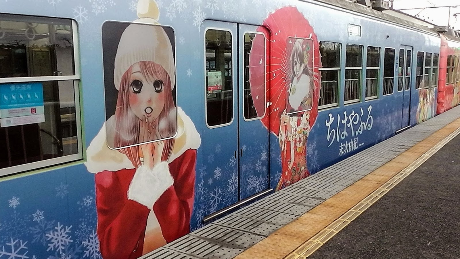
My brightly-decorated train would take would take me to Hamaotsu and from there, another train to Sanjo Station in Kyoto. And eventually home.


My brightly-decorated train would take would take me to Hamaotsu and from there, another train to Sanjo Station in Kyoto. And eventually home.


This track, like the previous track I hiked in this area, is very well signposted, especially through the suburban streets where it is very easy to get lost. Some, like in the image on the left, give distances to your destination and arrows pointing you there and, others, like in the image on the right, include other points-of-interest in the immediate vicinity.
So, on behalf of myself, and my friend here, I would like to thank you for reading this and, until next time -

So, on behalf of myself, and my friend here, I would like to thank you for reading this and, until next time -
Sayonara.
Course details & images - https://ridewithgps.com/trips/20583707