My latest Post.

This view,this beauty
A tear unbidden
Creeps into my eye.

My stay is short
But I shall return to this place
If only my life is long enough.

Such beauty
Gazing upon it
I hope my years are many.

Bokusui Wakayama.

Sunday, March 27, 2016

Ujideka - the obsession continues.

Map Location.
   It was just over a week ago that I exited this forest after another great hike, - Ujideka Revisited -  but for one incident. On the penultimate section, when leaving the summit of Mt Takaoyama, the trail-markers became nonexistent and, as a result, I had to do some bush-bashing before re-joining my planned route.
   Today's plan was to return to Takaoyama, discover where I went wrong and, if successful, do some exploring in the area. 
   After my one-hour walk from Kyotanabe station, and through the town of Ide, it was great to step-into my kinda' environment - muddy tracks, dense forest, the serenity, on my own - and make my way to the junction where I had emerged onto the previous week.
    It was about 30-minutes before I reached my junction where four tracks converged. Over the course of the next hour, I would pass-through this section five times before departing the area.
   In the middle of the junction there was this sign, written in Kanji, directing me to Takaoyama. The problem was that the sign didn't point to any particular track, but was pointing between the two most likely tracks that would lead to where I wanted to go so, after a quick check of my map, I came to the conclusion that the track that was the most likely one to take, was the one with the ribbons & tape tied to the trees. WRONG. 
   Instead, it led me to this stone marker, in the middle of nowhere, where the ribbon & tape ceased to exist from this point. Oh well, it was only 10-minutes of my time. As I was returning to the junction, I discovered another track that I decided to check-out. And another dead-end.
   It was now time to see if track-2 got me any closer to my goal. Five minutes in and I discovered another sign. The strange thing with this sign, was that it was located off the track - the track is at the bottom of the above image, behind the sign - and, after some debate, I decided on staying on the track. WRONG AGAIN. Ten minutes on and I reached a junction that seemed familiar and I immediately realized where I was. I had bypassed Takaoyama and was closing-in on Gonzan (also Ushitorayama). So, another u-turn. Partway back I decided to take the risk and headed-off the track and enter the bush in hope of finding my prize.
    And, before I knew-it, there appeared some trail markings which gave me a gut-feeling I was closing-in on Takaoyama. As I made my way I came to realize these were the markings I followed the week before, when I was exiting the summit. And when I took the wrong turn. 

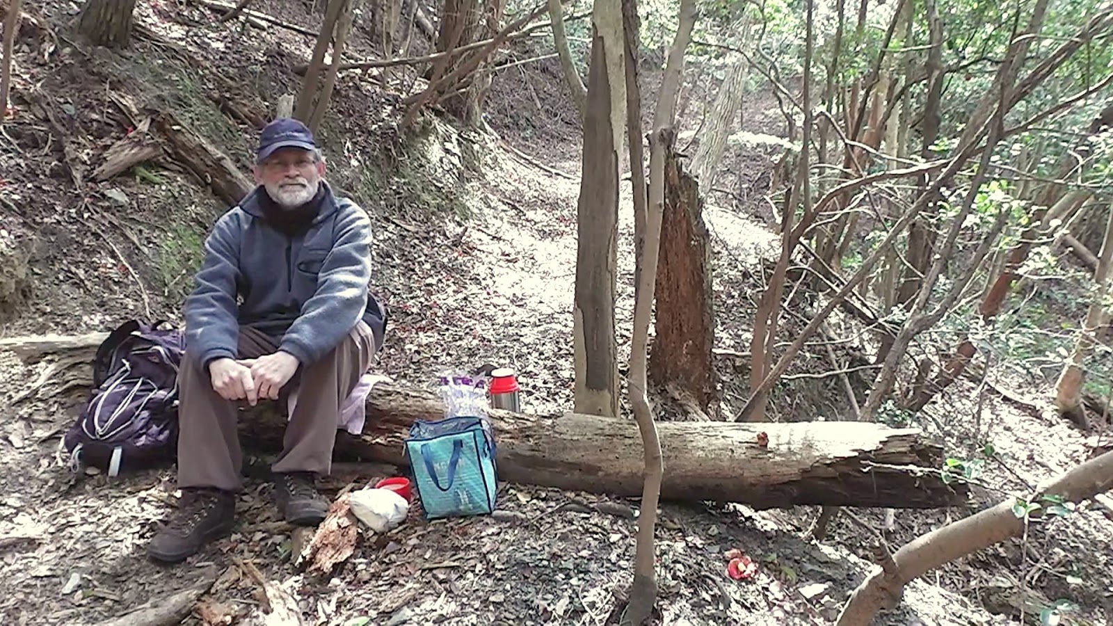
   A few meters on and whala, I had arrived. Unlike my first visit, I stayed longer and checked-out my surroundings - as the summit was covered in dense forest, there weren't any views - and take the usual 'selfie'. 


   I couldn't help notice, as I looked around, at the many signs revealing the fact that I was on the summit of Takaoyama. I counted six in all. The thought crossed my mind to remove one of the signs and re-place it where it would more beneficial - at the junction down below. But decided to leave well enough alone. 
   From here I returned to the junction and an early lunch-break. As time was on my side, I had a close look at my map and decided to explore the 4th track. My map showed this track, after ascending/descending a couple of hills, would emerge onto route-307 and a short bus-ride back to Kyotanabe. WRONG AGAIN.
   About 100-meters in the track came to an abrupt halt, and I stood there looking-into a short but steep gully. As I was in the mood to explore, I descended into the base and followed it out. The gully soon connected with a trickling stream and, a few meters on,  fed-into a more stronger stream. As I scaled along the side of this stream I encountered this short waterfall. It was at about this point I discovered more trail markers and decided to follow them. About half-an-hour further on, I emerged onto a well defined track and immediately burst into raucous laughter. I had completed an almost 360-degree loop and arrived a few hundred meters from the four track junction.
    My course from here would be to return to Kyotanabe by the same route I took to get here.  That was until I happened across another track. This one was well marked and, as I made my way, was treated to some very impressive fungi.
   Throughout the day I was impressed by the many varied types of fungi and where they grew. This has become a new interest for me and I post many images onto my collection of social media pages.
Map Location.
    After some time ascending/descending along the track, I spotted this building hidden amongst the trees. When I emerged onto a sealed lane, route-307 was in front of me and the building was a shrine. The ideal location for another rest-stop, a bite-to-eat and a cafe au-lait. From here it was a one-hour walk to Kyotanabe station, then home and a cold beer.

                                            So, until next time, Sayonara.


   Video of the days outing.

No comments:

Post a Comment