 |
| Summit of Mt Kunimiyama. |
I was in this area in early November, In Search of Tsubakio-jo Castle, when, during my research for that post, I discovered more hiking tracks that appealed to my sense-of-adventure - I had seen some images via my Panoramio page and was keen to check more of this area out.
 |
| Map Location. |
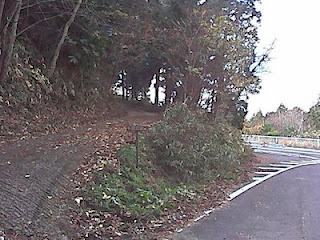
 A few minutes in, emerging from the forest, I found myself amongst a tea plantation and these interesting icons at the base of a tree. From here I was beginning to get my first views from where I had just come from - Mt Shiroyama to the northwest and the settlement of Yadawaracho to the northeast, with Mt Kunimiyama in front of me. During my ascent I experienced many junctions, with tracks branching-off in different directions. But, all credit to the wardens of the track, my track was well signposted.
 |
| Map Location. |
After departing the summit I now entered the Tou-no Mori Forest, and my next destination - Hiyoshi-jinja Shrine ( I had seen images on my Panoramio page and was keen to check the complex out).
 |
| Map Location. |
The forest track, like the approach to Mt Kunimiyama, was well signposted, like in the image on the right. Here I am at the junction of the track to Hiyoshi-jinja, behind me, and the descent into the settlement of Bessho (I return to this point, after visiting the shrine, as it takes me to the next segment of my hike - The Nanamagari Path).
 |
| Map Location. |
 |
| Map Location. |
....Shimonobo Eisho-ji Temple.
The temple was founded in the year 712A.D. by the Japanese Buddhist Monk, Roben, who was also clerical founder of the Todai-ji Temple in Nara. It is not a very large complex but, what makes it even more spectacular, is the 800-year old Japanese Cedar overhanging the grounds. As I did with Hiyoshi-jinja, I shall let this video do the talking.
A bit further down the path from the temple, nestled in amongst the forest, is this interesting collection of Buddhist Icons, maybe with some connection to Shimonobo Eisho-ji.
From the icons, the path zigzag's down and connects with a stream and, after treading cautiously over a set of logs, resembling a bridge (image on the right), I come closer to the terminus of the path, and my return to civilization or, in this instance, route-24. Route-24 is a National Highway that commences it's journey in Osaka City, passes-through Nara, on it's way to Mie Prefecture. It's a very busy road, to say the least, and a rude awakening, after the past several hours of peace-and-quite and solitude of the forest.
From here my return to the J.R.Obitoke Station commences, and along the way I pass through the settlements of Nakahatacho, Koryujicho and Takahicho, taking-in some of the local sights. Like this dilapidated old house on the left.
As I had just missed my train, I had 40-minutes to wait for the next so, what better way to while-away my time, than with a hot cup of cafe au- lait. Just what the doctor ordered.
Well, it's been another great outing, and a pleasure to have shared it with you. I am already planning my return to the area. Maybe on that occasion I will be on two wheels. Maybe I will extend or find new tracks to explore. Who knows. So, until next time, Sayonara.
Postscript;
The links, to the "Map Location" throughout this post, may not be very accurate. I apologise for that. I am yet to master the updated "New Google Maps" 'site.
Full video of the today's hike.
Today's route, with images - http://ridewithgps.com/routes/3761195


No comments:
Post a Comment