
It was this noticeboard that alerted me to the area known as Hino-no Satoyama, and, since that day three months ago, I have ventured into the area some seven times. Three of those times were a reconnaissance expedition, two were a planned hike, and once when I was invited to join the couple responsible for erecting the noticeboard.

This 'No Plan - Getting Lost' outing was an opportunity for me to check-out some of the tracks not covered on my previous trips, and hopefully see some sights I had also missed.

Little did I know, when I set-off, that I would return to this point 2-hours later, albeit by the (almost) same route. Which left me with the third track to take.


With these types of outings you can never be sure what you will experience. In some instances I have found myself returning and spending up to a year exploring the many tracks that area. Then there is the scenery, and hazards, as can be seen in the above images.

 As I made my way up the hill the calling of a wild deer caught my attention and I decided to see if I could catch a glimpse of the animal. But to no avail. So it was back to my ascent. By now I was working-up a sweat and needed to find a spot to take-a-break and store my jacket. I was relieved when I stumbled across this outcrop of rocks. While I was taking on some well deserved water, I took the opportunity to check my map to see if I could ascertain my location, which wasn't easy - my map is only lines drawn on a sheet of paper and has no contour lines. But, little did I know, the plateau and main track were just a few meters from where I was sitting and, to my delight, when I emerged, there was a sign pointing me in the direction from where I had just come from. So I wasn't lost.

I have an envy for those that live in these settlements. With only the one road in and out, there isn't much transport passing through, plus there is the serenity and beauty that surrounds you.

If this track was the one I thought it was, I would arrive at the junction of the Yuurei-touge Pass, and from there to my next destination. Wherever that was.

 From where I was standing the track looked steep, so I braced myself for a tough climb, and the day was beginning to heat-up. A few minutes in and I would (literally) stumble-across this collection of small religious icons. Always on the lookout for these, I was impressed with their location plus, on closer inspection, one of them resembled 'Fudo, the God of Waterfalls' (bottom left corner, image on the right).
I was pleasantly surprised when my track began to level-out but, also at this stage, the track & markings petered-out and I was left scratching my head, again.

To the left I would return to (Mt)Hinoyama, to my right, Kami-Daigo Temple. I went straight ahead. If my map information was correct, I would return to where I commenced my hike. Which it did but, much to my consternation, it connected with the track I hiked-up at the beginning of the day. Oh well, nothing ventured, nothing gained. It was now time to take the third track, and to see where it led me to. Little did I know, at that point, that this track would merge with the first track and back into familiar terrain.


During the course of my rest here, I decided to take a more thorough look around and, in a secluded corner of the site, obscured behind a Setsumatsusha (small shrine), was this collection of Fudo Statues. In a gap in the rock was a small stream of water flowing-into a concrete bowl. Someone had kindly placed a mug there which was my cue to refresh my thirst and, let me tell you, it was refreshing & pure.


Nine days ago, while hiking in the area with my hosts, we passed this site from the other direction. The rock was enormous, and I was informed that locals worshiped here, as the rock was considered to have had some connection with a God. The building was constructed as a shrine, which has become dilapidated over the years. But, judging by the many empty shochu bottles lying-about, I got the impression the site was still frequented.
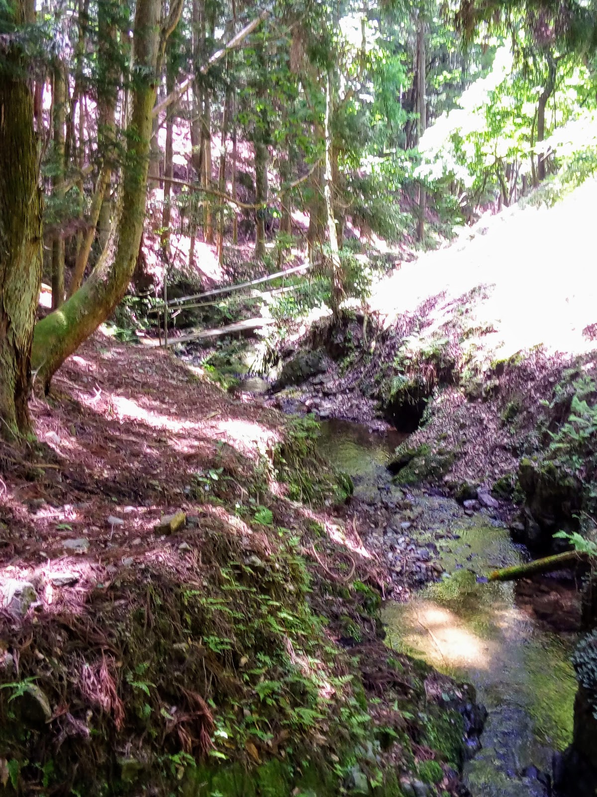

From this point my hosts followed the stream that meandered through the valley and, eventually, leading us back into civilization. Although it was still quite early - it was only 12:30pm - I was beginning to tire, and so I decided to call-it-a-day.
Footnote:

I would like to take this opportunity to acknowledge my hosts, Toshiyuki & Noriko Sawai, for giving me a guided tour through these hills and enlightening me on the history and beauty that lies within Hino-no Satoyama.
Toshiyuki & Noriko have lived here all their lives and know the area like the back of their hands, and have frequented the area many times, guiding others like myself. Domoarigatoogozaimasu.


In 1592 construction began on, what was to become, Momoyama-jo. The castle was being build for Toyotomi Hideyoshi who, just the previous year, had retired from the Regency. Some 20,000-to-30,000 workers were provided, from twenty provinces, to construct the castle. The rocks required for the foundation were gathered in this area and, to this day, evidence of their labors can still be seen. What amazed me, and to put this into perspective, is that back then, they didn't have the convenience of heavy machinery to assist them.

As always, thank-you for reading this post, and I look forward to sharing my next experience with you. So, until then,
Sayonara.
Course details - https://ridewithgps.com/trips/23511031
Video - https://www.youtube.com/edit?o=U&video_id=VJF6gevvx0Y
Video - https://www.youtube.com/edit?o=U&video_id=VJF6gevvx0Y