 |
| Map Location. |
Within minutes the track leaves the sounds of civilization behind, and is replaced by the sounds of the wildlife that reside within the confines of the forest. The track is well maintained and signposted and, if you so desire, you can explore the many side trails that branch-off the main track, some returning you to the nearby residential estates that border the park.
 |
| Map Location. |
 About 30-minutes in, you reach this map and set of log-steps that take you to Mt Kunimiyama and some awesome 180-degree views. To your left is the vast expanse of Osaka City, and the concrete monstrosities erected within. In front, and below you, is Hirakata City. Then, as you pan to your right, is Kyoto City (On a clear day you can see the Kyoto Tower, Hieizan and Atagosan).
 From here, after your ascent to Kunimiyama, your track traverses a plateau through some picturesque scenery when, before long, you arrive
at your first track junction. Here track-1, that commences at route-71, merges, albeit for a few hundred meters, and accompanies you to your next point-of-interest....
 |
| Map Location. |
Soon after leaving the museum, your track passes over a dam where you may get a closer look at some of the wildlife that reside on the pond. From here your track emerges onto a lane that allows access to a nearby golf-course. Crossing the lane the track then makes a steep ascent up some log steps. If it is hot I recommend you pace yourself accordingly as you may experience problems.
 Then, just as you are catching your breath, this rock, with an inscription carved into it, appears, heralding your arrival at Kounosen.
  |
| Map Location. |
 |
| Map Location. |
 |
| Map Location. |
 |
| Map Location. |
From here I follow a path, that follows a stream, that eventually leads me to the intersection with route-163, another very-busy thoroughfare. Crossing the intersection, and reconnecting with my stream, I soon re-enter the forest and leave the residential community behind.
 |
| Map Location. |
 A few minutes in and my attention is drawn to the sound of a waterfall. Upon closer inspection I discover....
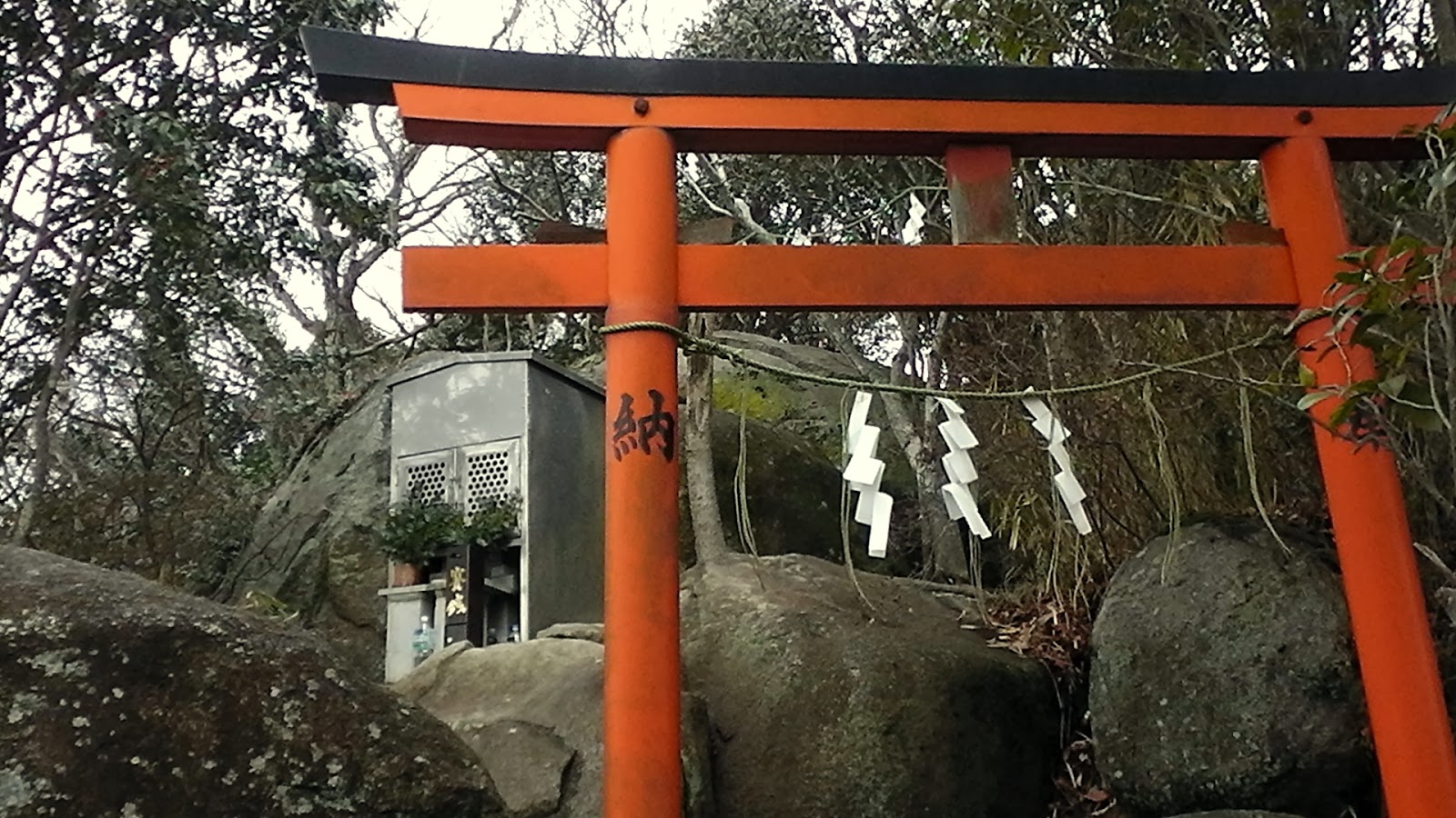
....these two small religious icons close by. I suspect this site may be used for a religious ritual known as Misogi, or be part of a pilgrimage where the waterfall has some spiritual significance.
 |
| Map Location. |
Leaving the waterfall, my track circumnavigates a large reservoir and re-enters the forest, emerging onto a narrow, and at times busy, lane. A hundred meters up the road, the track crosses a wooden bridge and enters Midori-no Bunkoen Park, the third, and final, recreation park of this segment of the course. Like the other two parks, this too has many tracks and is also well signposted, with maps in appropriate places. That's not to say you won't wander-off your designated course and end-up some distance away from where you are suppose to be (like I did, again).
 |
| Map Location. |
This is a nice park, with some of the paths on wooden walkways (like in the image on the right) passing through several inlets of a reservoir.
As I press on, I reach another junction and check-out the map to confirm I am going in the right direction. By now the sounds of civilization are becoming louder and warning me that my day is about to conclude.
 |
| Map Location. |
Then, quite suddenly, and unexpectedly, I arrive at my destination; route-8, Shijonawate. As I have about an hour to wait for my bus to Suminodo Station, I take the time for another photo-opportunity, and a long overdue lunch-break.
It's been another great hike (I say that about all my hikes) and, all going well, I shall be returning here in the not-too-distant-future to complete this course. On that occasion I shall be hiking through to the town of Sango, in Nara Prefecture. On this segment I will be circumnavigating the eastern suburbs of Osaka City and, I am certain, some awesome views.
So, until then, Sayonara.
Links: Full video of the days outing.
Cateye Enou; Tsuda to Shijonawate.
Full course details & images: http://ridewithgps.com/trips/2204979
Links: Full video of the days outing.
Cateye Enou; Tsuda to Shijonawate.
Full course details & images: http://ridewithgps.com/trips/2204979


No comments:
Post a Comment