My latest Post.

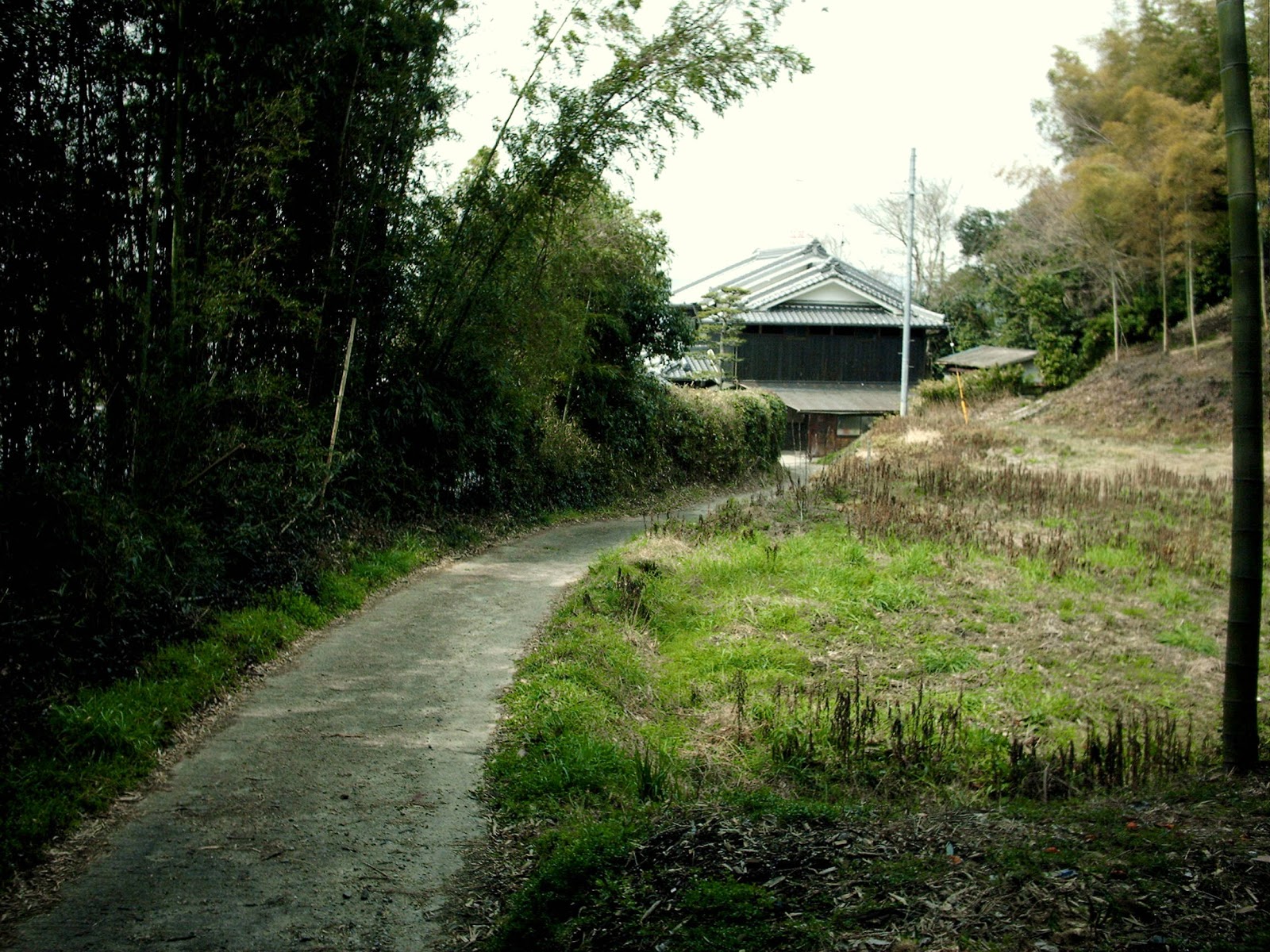
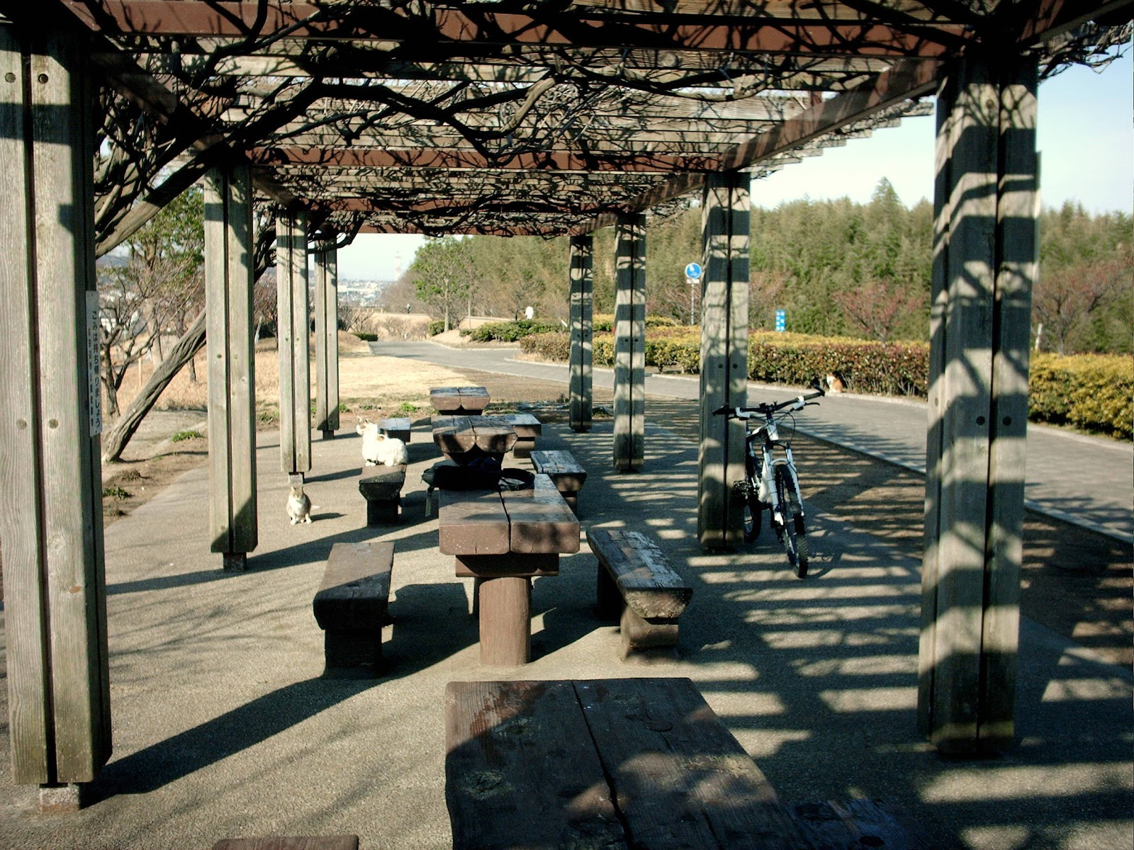
This view,this beauty
A tear unbidden
Creeps into my eye.

My stay is short
But I shall return to this place
If only my life is long enough.

Such beauty
Gazing upon it
I hope my years are many.

Bokusui Wakayama.

Saturday, April 28, 2012

INOU Atlas.

   Back in early March I made my first attempt at a book review ("A Ride In The Neon Sun" by Josie Dew.). This post is my first attempt at a product review.
   A few weeks ago I was gifted a cycling device (or a new toy for my bike) to test by a friend who is a representative for "CATEYE" . Many of us have seen their products at cycle-shops and some of us use their products - my lights and cycle-computer are both from CATEYE. 
CATEYE - INOU.
   The "INOU", which is CATEYE's newest gadget on the market, was named after a famous Japanese Surveyor & CartographerIno Tadataka, who is credited with completing the first map of Japan using modern technology.
   For some years now I have been pondering with the idea of adding a Hand-held G.P.S. device to my "toy-collection" then, to add to my woes, my video-camera went on the blink and I couldn't upload video images of my outings. But, as fate would have it, I met this guy when out cycling one day ( this is the story behind the meeting) who introduced me to the CATEYE Rep. 
   I am very impressed with this gadget and, before I begin to sing-it's praises, I'm  going to explain what it does and it's specifications. This is a G.P.S./Video/Still-Camera all in one and is ideal for use in the "Great Outdoors". The package runs on two AAA-size batteries (I recommend the use of rechargeable batteries) and comes with two "Micro SD cards (each holding 1GB) plus SD Card adapter. Also included are two straps/mounts - one for your cycle-handlebar and one for your cycle-helmet & back-pack (I will include trips with the device mounted in different locations later in this post). Also included is a detailed instruction & specification document. The G.P.S. records your speed, distance, time and elevation and, whenever you take a video/photo, the image is logged at your current location. The camera has a resolution of 640x480-Pixels and captures between 30 - 15 frames per second.If you don't want to take photos manually, then the  device can be set to capture & log a photo every 1-minute, 2-minutes, 5-minutes and 10-minutes (this is done via the "INOU Sync download).


   To download all this information, you need to create your page on the "INOU Atlas website"


Then you have to download the "INOU Sync" software (the device is Windows XP SP3/Vista/7 and Mak OS 2.4 or later compatible) and your'e all ready to go.
   Okay, enough of the specifications. Time to show-off what this wee beauty does. When you click-onto the links to view my trips a map will appear with the course highlighted and photo and video locations marked with an icon. If you click on the "Display Graph" icon, details of the trip will appear - speed, altitude, distance and time.
Handlebar Mounted.
With my INOU, Cycle-Computer and Lights strapped onto the handlebar, I often wonder if I'm not becoming a "gadget-junkie" (warning; if your handlebar looks like this, you also need to be paying attention to your environment - traffic, walkers & other cyclists).
   "Off-Roading in the Sakai-cho Area" - this is my inaugural outing and I was keen to test the device and, where better, than the hills of Sakai Town. I was very impressed with how this trip came out.
Helmet Mounted.
Today, Monday 23rd April, I tested the Helmet Mount on another of my favorite courses - "Yawata-ohashi to Heian-jingu" in Kyoto City. As you will see it hasn't turned-out perfect, especially the still photos (although I am impressed with the video segments). My thoughts regarding this position is that it can be a distraction to the rider and, as a consequence, dangerous. So rider be warned.
Backpack Mounted.
Now for the big test - hiking. And this was the icing-on-the-cake of what was a great day - great course, great scenery and great company. The area between Kamikoma Station and Kamo Station is full of history, secluded villages, with a Temple & Shrine thrown-in for good measure (and not to forget some castle ruins). To hike with my INOU strapped-onto my backpack freed-up my hands for other uses - carrying a hiking-pole, removing branches off the track, taking a drink to name a few.
   The INOU doesn't have a viewfinder or monitor to view your location and video/photos, nor does it have sound. I wouldn't rate this as a big minus, but I daresay the folks down at CATEYE will be taking that into consideration when designing their new model. The microSD cards only hold 1GB information and, as I found out during my Kyoto trip, it is easy to run-out of space. No problem, a 4GB, 8GB, 16GB & 36GB card is available on the market. With fully charged batteries you will get about 6.5-hours of G.P.S. recording but, as you use the camera(s), that will lesson somewhat (if while out on a ride/hike, and your batteries run flat and you replace them, a new trip will be recorded). To compensate for this, I don't commence recording until I begin my course. 
   I will enclose a couple of videos, courtesy of "CATEYE" and "Youtube" to check-out - Cateye INOU Quick Start (video instruction) and CatEye and INOU Social Network.
   Since commencing this post I have made good use of my "INOU" and, if you have the time, I invite you to view them - Nagaokakyo-shi to Takatsuki-shi - and - Kizu-eki to Kamo-eki.
                                                                                                

Friday, April 20, 2012

Hanami 2012.

                                                                                                                                                                                                                   I love Spring. For me, the beginning of the season means new life. After months, where most lifeforms have laid dormant ( that's excluding the one-or-two outdoorsy people), and members of the animal community have been in hibernation, everything seems to come to life. And here in Japan, the sight of the Sakura in full bloom heralds-in my favorite Japanese custom - Hanami. During the small window available to celebrate Hanami (7-to-10 days) the alcohol and Bento sales skyrocket as devotees head for their favorite spot and celebrate (one such group I saw back in 2007, had 5-kegs of beer, a fridge, generator, enough food to feed an army).
Hanami 2005.
Location.
I remember my first Hanami, back in 2005, when we went to an area in Yawata City. It was perfect - cool blue skies, vivid-white blossoms, copious amounts of food and alcohol, great company - and I came away with a sense of anticipation for future years and, with the eight Hanami I have celebrated in Japan, I am yet to be disappointed. Over those 8-years I have celebrated the occasion in five different locations with this year being slightly different from the past - I celebrated three Hanami. 
Celebrating Hanami
With
Motokazu-san and Hugo-san
.
   On Thursday 12th April I joined my friends Motokazu-san and Hugo for a picnic on the grounds of Fushimi-Momoyama Castle. Hugo and I visited the complex a few months ago and were very impressed and decided to return for the occasion. Well stocked with food and beverage, we spent several hours chatting and taking-in the view. And what a view it was - 
Fushimi-Momoyama Castle.
Location.
   Could you imagine a better view to relax with, than a castle? I don't think so. The castle grounds were awash with color and, as the day wore-on (and before the alcohol took it's toll) we took a walk with cameras in hand, and the following are some of the images captured.
Fushimi-Momoyama Castle
Main Tower.
   The main tower was difficult to photo due to it's size, plus we weren't able to get far-enough away to capture it. 
Pond and Bridge.
   As we strolled about the grounds, we took a path that eventually brought us to a pond with a quaint wee bridge, with the castle in the background.
My Wife and I
in Kyoto.
    On the third Hanami,on Sunday 15th,I found myself sharing the occasion with my wife and mother-in-law as we strolled-along Kadono Nakadori, an avenue of Sakura that line a stream in Kyoto City.
Kadono Nakadori.
Location.
As is always the case, when the Sakura are in bloom, it rains and the blossoms don't stay on the tree for long (as can be seen in the image) but it doesn't stop families/groups from coming out.
Hanami in Kyoto.
   The next anniversary on the Japanese Holiday calendar is Tango no Sekku (Children's Day) where respect for Children and their happiness is celebrated. What makes this event spectacular is all through the community Koinobori (Carp Streamers) are hung - outside homes, across rivers, as in the image below.
Koinobori (Carp Streamers).
Tango no Sekku is one of several anniversaries  that make up the holiday period known as "Golden Week"  and, let me tell you, it is a very busy time. It is a time many holiday-makers travel (my first trip to Japan, in 2000, was during "Golden Week"), but for me, I will be spending the time chilling-out at the "Takatsuki Jazz Street Festival".

Wednesday, March 28, 2012

The Tsubaiotsukayama Kofun.

   I was in the Kamikoma area of Yamashiro Town on one of my "no plan/getting lost" outings recently when I happened-across something that  left me with a curious taste in my mouth. I was cycling along a lane that bordered the residential area from the forest/hilly area on the eastern side of Route-24
Map Location.
I soon approached a reservoir and, as I was in no particular hurry, I decided to take-a-break and have a banana while taking-in the nearby scenery (there was also a cold wind blowing and the shelter came as a nice respite). I have traveled this lane many times but, on this occasion, I couldn't help notice a narrow track leading-into the bush behind me. Curious, I decided to investigate. 
Map Location.
Before long I soon found myself bush-bashing along a muddy, rutted track through a dense bamboo forest (my kinda' environment). 2km later I emerged into one of the many isolated villages that dot this area.
Map Location.
Unsure of where I was I decided to go in search of a site where I could get a good view of my surroundings. My attention was drawn to a knob (on the right in the image) that would best suit my purposes. 
Map Location.
   To get there I had to weave my way through the many narrow lanes that make up villages such as this.
My destination.
Map Location.
Before long my destination was in sight and, after ascending some steps, I found myself atop my hill which reminded me of One Tree Hill in Auckland City, Aotearoa
Map Location.
From the summit I was treated to a commanding view of the Yamashiro-cho area.
Ikoma-yama (Mt Ikoma).
  In the distance was Mt Ikoma and, in the foreground, was the Kizugawa River. 
Map Location.
To the rear I could see the track I had just emerged from 10-minutes prior.
Information Notice.
But it was this notice that really caught my attention and, with my curiosity beginning to surface, I decided to have it translated so as to shine some light into what it was that I was  standing-on.
   With the assistance of two of my friends (who's expertise in translating Kanji into English knows no bounds) and the nice people at the Yamashiro Regional Museum, I was informed that I was standing-upon the Tsubaiotsukayama Kofun, or Tumulus or Burial Mounds as they are also known. The Kofun were all the rage between the early 3rd century and the early 7th century. This one, it is believed, was built in the late 3rd century, and thus dates from the era of Yamataikoku, which was a kingdom of prehistoric Japan and which was mentioned in Chinese annuals, and might be the same as Yamato, which was later in the Japanese annals. 
   My enquiries failed to ascertain who, if anyone, was buried here but, in 1953, during an archaeological excavation, nearly 40 bronzed mirrors, including 30 god-beast mirrors, were found along with various other things. There is strong theory the god-beast mirrors were mirrors that Himiko, the Shamaness-Queen  of Yamatai recorded in the Chinese annals, is believed to have received them as a gift from the Ruler of a Chinese Ethnic Group.
Mozu Kofugun, Osaka.
Location
It is difficult to imagine what this Kofun looked-like 1,700 years-ago, maybe like the one in the image on the left. But today, if it weren't for the information-board, one wouldn't know what they were standing on. 
Tsubaiotsukayama Kofun.
In the image on the right, which I managed to photo, is of the tomb as it (may have) appeared at the time of construction, with (my) markings of how it looks today.
J.R.Nara Line.
Through the middle of the mound (marked with -) runs the J.R. Nara Rail-Line (the gentleman standing there is a train enthusiast with camera in hand). You can see the steps (marked with +) leading up to the summit (the lane I cycled to get to the mound is marked with =). If you look at this Satellite Image of Tsubaiotsukayama Kofun you will get a better impression of how the mound looks today. 
Location.

Hidden-away, on the bottom right of the Kofun, is a monument dedicated to the Tsubaiotsukayama Kofun (marked with #). It just stands there in an empty section with the village surrounding it. I am somewhat saddened by this. With all the restoration and preservation work that has been done on old sites around Japan - Shrines, Temples and Castles to name a few - and the many UNESCO and National Treasures of Japan, this one has been forgotten and sits unnoticed.
   All-in-all this turned-out to be another great outing and, if any further information comes-to-hand, I won't hesitate to pass it on. In the mean time, I plan to do more research into the Yamashiro area as I feel there are more wee secrets to be revealed. Watch this space. 
   Some more interesting reading; Kofun CultureJapanese Bronze Mirrors,Yamato ProvinceKofun in the Nara Basin.

Tuesday, March 13, 2012

"A Ride In The Neon Sun" - Josie Dew.

   This is my first attempt at a book review, so please forgive my amateurish attempt and bear-with-me while I tell you about a great book I have just completed reading. The book, needless-to-say, is about an area of the great-outdoors that is very dear to me, cycling, or, in this instance, cycle-touring. I discovered this book at Green e Books in Kyoto City (the trip I later wrote about in a blog titled - "Bookride to Kyoto").
   "A Ride In The Neon Sun", by Josie Dew, I would have to say is the best reading investment I have made for many-a-year and, at just ¥300, the most economical. I love these types of books. I get an immense amount of joy reading of others exploits, especially when the topic is the great-outdoors.
   Bicycle Touring is one of the best (if not the best) ways to see/experience a land/country, and Josie Dew has done plenty of touring with seven books to her credit.
   "A Ride In The Neon Sun", published in 1999, is Josie's first experience of cycle-touring in Japan (she was to return 2-years later, "The Sun In My Eyes" chronicling this trip). The book could be divided into two parts - Josie's experiences, and an insight into Japan - with both being covered with her delightful sense-of-humor. 
   My loyalties, as to whether I was going to like this book were tested early when, on page-8, it was revealed that Josie was originally planning on touring New-Zealand but (something she is not so sure how it happened) she ended-up in Japan instead ( all was not lost, she did venture "down-under" and, as a result of her experience, published "Long Cloud Ride" in 2007). 
   The book reminded me of the month I spent cycle-touring around Ireland back in 1993 - alone, keeping-off the main road, following the coastline, dossing-down in cheap out-of-town hostels (as I wasn't carrying any camping gear, I couldn't camp in places as Josie did) and connecting with the locals. I also experienced the agonies, pains, inconveniences (rain, wind, heat, motorists, tunnels, cycle repairs) but, at the end of the day, I would do it all again.
   Josie commenced her ride while Japan was experiencing the most severe "Tsuyu (Rainy Season)" in 50+-years and, all through this, she continued on her merry way. Then, just as she thought she had survived one weather extreme, she experienced another - the Japanese Summer. Here there are two ways to describe summer - very-hot and extremely-hot - and, when one is out experiencing the great-outdoors on bike, you need copious amounts of fluid. But, if two weather extremes weren't enough, as she traveled-through the Nansei Islands the "Typhoon Season" was about to make her life more hazardous, and unpleasant.
   For the non-outdoorholic (or even the casual cyclists) there will be many questions you will be asking yourself as you leaf-through this book - Why? Are you crazy/mad?  But imagine this; you have been on the road all day, you have discovered this idyllic spot to pitch your tent (location), you set-up camp and put-on-a-brew, then you take-in the scene - overlooking Cape Satamisaki with Kaimondake Volcano (Location) in the distance. Is this heaven or what! 
Sunset at
Kaimondake Volcano

Location.


   Throughout this book Josie also gives the reader an insight into Japan and the Japanese people (after living here for 7-years, there were things explained here that I didn't realize) in Layman's Terms, that helps one appreciate the many customs associated with everyday life here. Take for instance the ritual surrounding gift-giving and gift-receiving; when receiving a gift, the recipient has to refuse it. The giver then offers it a second time where it is duly refused again. On the third time, the recipient then accepts it. But, if, after the first or second round the gift isn't re-offered, it means the giver didn't genuinely want you to have it.
   One of the most comical moments in the book happened as Josie was cycling  in the Ooigawa (Ooi River) area in Shizuoka Prefecture; "That night, as I threaded my way through a rainy confusion of coastal backstreets, I washed up at a hotel called Pink River". Up to this stage I had been reading in anticipation of when Josie would experience the Japanese phenomenon of the Love Hotel. ".....there was no reception, no receptionist, no people - just a dingy booth with a wall-mounted door-phone.....". " Laden down with waterlogged panniers in hand I fumbled with the key and flung open the door with my foot and stepped into a rocket" - Images of a Japanese Love Hotel.
   After commencing her trip at Tokyo and cycling down the Pacific Coast to Wakayama City (she avoided Nagoya City by taking a ferry at Cape Irako (map), at the mouth if Ise Bay, to Toba (map) on the Kii Peninsula) Josie took the ferry over to Shikoku. After partly navigating the island prefecture, another ferry-ride took her to Kyushu where, after just a few days of experiencing this prefecture, she was off to the Nansei Islands and the dreaded Habu. I can't stand snakes and, reading the stories of the locals regarding these reptiles, has put me off visiting this area. Her description of her travels here though, makes me feel envious and a need to venture south, venomous reptiles and all. But sadly her stay here was to be cut short, when she received news from back home in England and, within a few short days, she was at the port of Hyuga, on the east coast of Kyushu, waiting for a ship to return her to Tokyo (she did manage to get a look-around the Kumamoto Area and Mt Aso before her departure).  
   My next move is to seek-out (no this is not "Star Trek") a copy of "The Sun In My Eyes"  ( or any other of her books for that matter) so I can read more of her exploits in Japan.
Josie Dew & Friend.
   I would like to take this opportunity to thank Josie for allowing me to quote excerpts from her book and giving me, and I hope a good many other "Outdoorholics", the opportunity to appreciate this incredible piece-of-rock we inhabit through her words. Josie, domoarigatogozaimasu.  
   
   This now brings me to my ulterior motive for composing this post. That is to encourage as many people as possible to get-out and experience the great outdoors. You don't have to do what the Josie's of this world do (although I'm sure you won't regret it) , all you have to do is, instead of hopping in your car, put some shoes/boots on or get on your bike and do it.

Tuesday, February 28, 2012

Fate? Destiny? Coincidence? You be the judge.

Question;
   What is the link between the image on the top-left (the Tonsils) and the image on the bottom-right (CATEYE's INOU)?
Tonsils

CATEYE's Inou
 Answer; 
   About 40-years.
Confused?


                                                                                                                                                                      To explain, I shall begin at the end - the present day.


Location.
  These two images were taken at a picnic-spot/rest-area along the Kizugawa River cycle-way. It is about an hour from where I live, and I often stop here for a refreshment break before completing my ride. On this particular day, as I was about to consume my last bread-roll, another cyclist arrived, gave me a quizzical look (I often get that. I don't know why) before approaching me asking; "Are you the guy that goes by the name of theoutdoorholic"? After confirming that I was, Philip went on to explain how he heard about me; a friend of his, who has an "Everytrail Page", told him about a guy who goes by the name of  "theoutdoorholic", and has posted a lot of rides in this area. Cool aye! But what makes this encounter even more amazing, is that I wasn't planning on stopping at this spot (I only did as, if I arrived home too early, I may have been given a chore to do - cook dinner or wash-the-dishes). And Philip wasn't planning on cycling this far either - he felt energetic and thought he would add an extra few kilometers to his ride.
Still Confused?
   Are you still with me? Well Philip administers a "Facebook Group" called the "Nara MTB and Road Cycling" Group. A member of this group is a Company Rep' for CATEYE (they manufacture products for bicycles - lights, cycle-computers e.t.c.) and this guy wants to gift me one of their new products on the market - The Inou. This is a combination G.P.S./photo/video device that allows the user to record their trip, as-well-as photo/video images and then uploaded onto your computer.  Whats so amazing about this is that, for the past year-or-so, I have been pondering with the idea of investing in a Hand-Held G.P.S. Device which would make uploading my outings more easier & less time-consuming ( drawing a trip can take a few hours).
Finished Yet?
   Now lets return to the summer of 1973. I was living in Christchurch City and, on this particular day, I was sitting in the clinic of an E.N.T. specialist. The gentleman had just taken a look down my throat and was telling me that my Tonsils needed to be removed a.s.a.p. (My god, I could have told him that, after the suffering I had been-through the previous 12-months) and provided me with three hospitals I could have the operation performed at - Christchurch Public Hospital  (as this was a public hosp' I would have to wait for a few months). St Georges Private Hospital  (as this was a hosp' that specialized in Pediatrics, I may not appreciate sharing my ward with screaming kids). And Calvary Private Hospital. Five days later I was discharged from Calvary Hospital with a clean bill of health, minus my Tonsils but, as a bonus of my stay, I had a 4-year relationship with one of the Nursing Staff. Two years into our relationship we moved to Nelson City where, after Kitrina left me to do her big O.E. to Australia, I lived until 2005. 
   Then, one day in June of 1998, I was sitting in my room at Franklyn Hall ( the halls were used as student residents attached to the Nelson Polytechnic) when two young Japanese girls arrived. They were in the country on a 12-month Students Visa. One of the girls met & married my friend and I married Sueko-san. Then, in early 2005, we arrived in Japan to live where, in my spare time, I hike and mountain-bike around this very-beautiful region. 
   
   Okay. You've read this story. In your opinion, is it Fate, Destiny , or just a Coincidence? But, ask yourself this question; what would have happened if I went to a different hospital for my operation? Or I went to Australia with Kitrina? Or I returned home so I could cook dinner? A lot of "What if's".
    

Monday, February 6, 2012

"You don't have to be crazy.......

                                    "You don't have to be crazy to work here,
                                                           But it sure helps".

   Some years ago, when I was Nurse-Aiding in a Psychiatric Hospital, someone pinned this (interesting) proverb onto the noticeboard in one of the wards (needless-to-say it drew a few comments as to it's appropriateness but, most saw the joke behind it). The same could be said for the idiots amongst us, like yours truly, who spend a cool  winters Sunday out busting-their-guts mountain-biking (if this is a symptom of insanity, I am guilty as charged). Today, Sunday 5th February 2012, I left home at 8:30am and, 7.5-hours + 88km later, I arrived back  buzzing (check 4-b) (at 80km I felt I could do another 20km but, bad-light, cooling temperature, a worrying wife, and a can-of-beer calling to be opened, made me think otherwise). So, I have decided to let you, my fellow "outdoorholics", decide whether I am crazy or just .......... (?). This is my story.
Location.
Today's ride (view the route here) was very-undulating (to say the least), consisting of five uphill climbs and descents through a mixture of scenery - isolated villages, farmland, narrow lanes, shrines & temples (a Barcock outing wouldn't be complete without a shrine or temple included). After a 30km ride, I (finally) arrive at my destination where I say goodbye to civilization and hello to serenity/beauty. 
Location.
About a kilometer up the road I came-across my first photo-opportunity - a small shrine tucked-amongst the trees. These small, out-of-the-way complexes, have an appeal to me. They are so peaceful (do you experience the same feeling?).
Jizo.
Location.
Then, just-around the corner from the shrine, I happened-across a small Jizo nestled amongst the bank on the side of the lane. These come in many shapes-and-sizes and never fail to attract my attention.
Torii, entrance to Okumiya-jinja Shrine.
Location.
In the photo on the right, I am about to commence on the second-half of my second hill-climb (can you follow that?). Over the next 1.2km I shall climb 142m and, I may add, it was gut-busting stuff (I shall let you into a little secret here, I had to walk some of the way), but worth it. The lane is part of what is known as the "Tokai Nature Walk".
Okumiya-jinja Shrine.
Location.
  The 142m climb was worth the effort as I was greeted by a quaint wee shrine atop Iwama-yama (Mt Iwama 380m) which offered views over to Biwako (Lake Biwa) and Ritto & Kusatsu Cities.
Lunch-Break
at
Okumiya-jinja.
Okumiya-jinja Shrine was the perfect location to stop for my first break. As my cycle-computer was telling me I had cycled 37km at this point, I was aware I was about half-way through my trip.
Location.
  After lunch, consisting of an egg sandwich, banana, snickers-bar and hot tea, it was time for my first down-hill segment (albeit short) before my next ascent.
Hirade Village.
Location.
  Hirade Village, during rice-growing season, is a delight to experience. In the photo you can see an arrow pointing to my next plateau. It may not look steep from this angle but, the last 150m requires some effort.
   After another descent, and another (long) hill-climb, I reached a junction (Location.) and, although I knew where one lane went to, I was curious to see where the other went to. The village of Ikenoo sits in a valley surrounded by mountains and consists of many old traditional Japanese houses.
Ikenoo Village.
Location.
I love this type of cycling environment and, one day, when I get around to it, I hope to tour keeping to villages like this. But, in saying that, I can't imagine myself travelling a great distance as I would spend most of my time sightseeing. Ikenoo village (unfortunately) is so isolated, there is only the one road in & out. So, time for my 5th and last hill-climb.
Location.
The next section was a 258m descent over a 4km distance, with sweeping bends. Ideal terrain to let-loose and go-for-it. At one point I managed to read 55kmph on my cycle-computer. It was at this point I needed to remind myself of my age  (a young 58) and slow-down. I was glad I did as, at that point, out of the corner of my eye, I spotted another photo-opportunity. On a hot, fine, sunny day, I would have stripped and taken a rinse in this pool. 
Uji,
and the end of another great outing.
Location.
   Uji. One of my favorite places in Japan. God-knows how many times I have been here. I still enjoy returning (check-out my "Everytrail Guide"). Behind me, where I am having my bite-to-eat, is the "Tale-of-Genji" bridge. I always make for this spot for my breaks (I think the people who operate the shop, opposite where I am sitting, have come to recognize me). After a cuppa', some bread-rolls and a banana, I move on for the final segment - home (25km away). I've had a great day and, if you want to experience this area, when you are visiting Japan, I would be more-than-honored to show it to you.
   Okay, you have read my story. Do you think I am crazy?


   Footnote; My apologies to anyone who may be offended at the use of some words used in this blog.