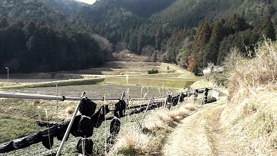
It's been some time since my last 'no plan/getting lost' outing and, as I have been spending some time in the Ujitawara area of late, where best to reacquaint myself with this idea, than amongst the many tea-plantations, hills-&-valleys & forests that make-up this area. So, with scenery as in the above image to look forward to, I was eager to get on the road. It dawned a cold, fine & calm morning and, after an 18km x 1-hour ride, I reached my first junction.
 |
| Map Location. |
 |
| Map Location. |
About 1km in and my sealed lane becomes a muddy track - I was conscience of the recent rain and the possibility of getting wet underfoot - when I happened-across this signpost directing me, and other eager outdoors people, to a site further up the trail.
 |
| Map Location. |
It didn't take me long to make out where the 'falls were and, after ascending some steps, I arrived at . . . .
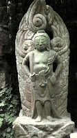
. . . . the Shrine itself, nestled midway between two waterfalls, with much moss and vines adding a touch of color & atmosphere to the site. Waterfalls in Japan hold strong spiritual significance and, in many cases an icon of Fudo, the God of Waterfalls, can be found.

After exiting the forest, my next destination was immediately on my right, through a plantation of tea and, a few meters on, my next stop - this concrete lantern. It seemed a strange place to have this object.
 |
| Map Location. |
 |
| Map Location. |
One track was blocked by a truck, so I proceeded straight-ahead, leaving the other two for when I returned (if I returned). This track ended at my second irrigation reservoir of the day and a very nice angler who bade me kiotsukete (take care) as we parted. Oh how I envied this man - sitting here, in the bright/warm sunlight of the day, with a fishing-rod in one hand, and a mug of coffee in the other (the site has been placed on my 'picnic location' book for future reference).
 |
| Map Location. |
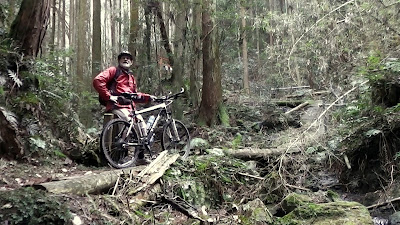
 I was aware, thanks to the online topography map, that there may be a track from here ascending to the ridge-line. So I decided to go for it - bike, bike-shoes and all. The track looked well defined and, five minutes in, I emerged at a clearing that overlooked the reservoir, angler-and-all, that I visited about 10-minutes previous. Looking at the way he was pulling at his fishing-rod, he was about to secure his breakfast for the following day. As I proceeded along the track, my surroundings began to close-in on me, and the going tougher.
 |
| Map Location. |
Each excursion into the outdoors always provides me with great satisfaction and exhilaration, but none more so than these outings. Because I have no idea what to expect, and what is around the next corner, I always come-away with an appreciation of what we have here on this planet.
Thank-you for reading this post and, until next time, sayonara.
Video of the days outing - https://www.youtube.com/watch?v=_X_csVWLL3s
Course details - https://ridewithgps.com/trips/8113385 (I cannot guarantee the accuracy of the map location & course details).


No comments:
Post a Comment