My latest Post.

This view,this beauty
A tear unbidden
Creeps into my eye.

My stay is short
But I shall return to this place
If only my life is long enough.

Such beauty
Gazing upon it
I hope my years are many.

Bokusui Wakayama.
Showing posts with label Wazuka. Show all posts

Friday, March 18, 2016

Ujideka Revisited.


     Today's course is made-up of six different tracks, four of which I have explored in recent weeks, the other two unexplored territory.
Map Location.
   After a 7km x 75-min' walk from where I alighted my bus, I reached this small tea-plantation on route-62, on the border seperating Ujitawara & Wazuka Towns. For the next 4-hours my surroundings would consist of trees, trees and more trees, with very few view opportunities. 
The tracks are well marked and defined with an assortment of markers ranging from red-colored pegs, tape, and signs hanging from trees.
Map Location.
   Twenty minutes in and my first junction (actually it would have been 15-minutes, but I overshot the junction and had to backtrack). The last, and first, time I came through here, it was from the other direction and, if my memory served me right, most of this next segment would be undulating, but mostly downhill.
   Ten minutes later and I reached this rocky-outcrop. Although I had only been on the track for little under an hour, it had been in fact 2-hours since alighting the bus, and 5-hours since I last had anything to eat or drink. So, as I wasn't in any great rush, this was an ideal location for a banana and some ice-coffee. 


   Throughout  the day I would pass trees with a varying array of fungi, something I have taken a photographic interest in over recent weeks. In the image on the right, if my research is correct, is a member of the Ganoderma  family. 
Map Location.
   Two hours, two junctions, one descent and one ascent (I'm cutting a long story short here) after my rest-stop, I enter into the first of my unexplored tracks. But, before I do, . . . .
. . . . I manage to take-in a couple of vistas of the surrounding area. In the image on the left, I look back at where I have just come from. The hill, I hazard to guess, is about where I had my rest-stop. On the right is Jubusan (632m), famous for the 13-hundred year-old Kontai-ji Temple that lies a few meters below the summit.
   The next segment passes very quickly and, another power-pylon and two junctions later, I arrive at . . . . 
Map Location.


 . . Gonzan, or Ushitorayama, (443.7m) depending on what map you read - both names use the same Kanji characters. Just as I arrive, I can hear the fire-alarm sirens sounding below, heralding 12pm, and time for a well deserved lunch-break.
   I am back in unexplored territory and, from here, things began to turn to custard. The track, that I assumed would be there, was there and, like up to this point, also well marked.
   My next destination was Takaoyama (433m) and, about 15-minutes after leaving Gonzan, I arrived at, what I thought was, my next summit - if my Japanese language skills were better than what they are, I would have realized that this wasn't Takaoyama.
   Moving on I began to notice the track markings began to change - gone were the red-colored pegs, to be replaced with faded and tatty ribbon. But I wasn't panicking (that was about to come, sooner, more than later) when, just a bit further on . . . .
Map Location.
 . . . . I arrive at this clearing and, guess what, yes, Takaoyama (the Kangi characters concurring with what was on my map). From here any markings became few-and-far-between, and eventually nonexistent. 
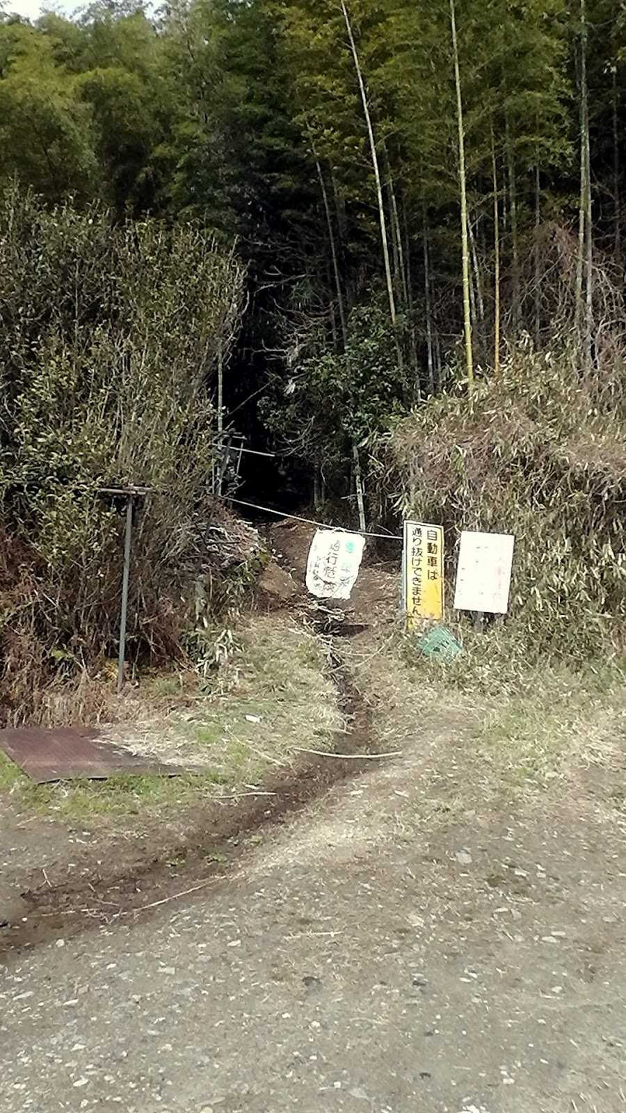
   After some bush-bashing, I could hear the faint sound of a running stream below me, and so I decided to head for there. I soon emerged at a track which revealed where exactly I was and, not liking where I was, did a u-turn and headed back up the hill and through the bush in search of my planned track. I soon found that track which eventually led me onto another track that I had biked on a couple-of-weeks prior. Phew. 
   Also at this point I could hear the sounds of civilization, in the form of traffic moving along route-307. I had arrived at Ide Town.
Map Location.
   Four-and-a-half hours after entering the forest at route-62, I emerged from the forest to be greeted by the sound of a motor pump-sprayer and farmers spraying their tea crop. From here it was a leisurely stroll through Ide Town, over the Kizugawa River and onto Kyotanabe Station for my train trip home.
   Since completing this hike, my mind has been working overtime with questions such as - Where did I do wrong? Are there other tracks there that I missed? 
   So, in line with my obsessive nature, I plan to return and, on that occasion, commencing from the Ide Town end.   
         Until next time - Sayonara. 


Video-https://www.youtube.com/watch?v=9djFrhhipHI
Course Details - https://ridewithgps.com/trips/8184942

Tuesday, February 23, 2016

Exploring the Hills, Valleys and Countryside of Ujideka.

 
   Before you make a grab for your map, or head to the internet in search of Ujideka, don't. Because you won't find it (or I don't think you will). It's a place I have conjured-up to save on space. Over this past February I have spent many hours and traveled just-as-many kilometers exploring and reacquainting myself with the backcountry of Ujitawara, Ide and Wazuka (Map Location) of Kyoto Prefecture.

   My first outing took place on the 1st of the month. It was a reconnaissance trip in search of a forest track I wanted to check-out at some later date. As was the case, I didn't pack my cameras but, somewhere along way, I just happened to catch sight of this fella hidden amongst the vines and so made use of the camera on my cellphone. Someone, in their wisdom, had disposed of this stuffed & mounted version of a racoon-dog


   A week later, this occasion being a physical exercise hike, I stumbled-across an interesting array of religious icons - which never fail to impress me - and one lonely ceramic dog. At first glance, from a distance, I thought someone had abandoned this poor creature and was possibly wild, so I approached it with extreme caution. Thank god I was on my own as I would have never been allowed to forget the meeting. As I knelt to take the photo, I looked-around in case there wasn't any hidden cameras recording the event. The gentleman in the bottom image is one of the 'Seven Gods of Fortune'. See if you can pick which one he is.
   Three days later my Wife & I were to visit the area known as Green Park (map location), a camping, picnic & recreation area surrounding a reservoir. A site I have passed-through on my many hikes & rides in the area.
Map Location.

   Two days later I was back in the area, this time on two wheels, to check-out a track a friend had told me about. If successful, this track would provide a link with two other tracks in the area where I could commence a hike at the settlement of Yuyadani, Ujitawara Town, and take me through to Ide Town.
   After ascending a steep incline, followed by passing-through several hectares of tea plantation - the area is famous for it's tea and is regarded as the 'Tea-Growing Capitol of Japan' - I then entered an area of dense shrub and had to walk pushing my bike in front of me. Not my cup-of-tea, but it was worth the effort when I emerged onto route-62 (the Ujitawara-to-Wazuka road) about 100-meters from the mountain lane leading to Kontai-ji Temple and Mt Jubuu.
   That was it for this day and, as I made my return to home, I was already planning my next outing into the area. Which would be in five days time.
  
   Wednesday 17th, and my attempt to hike from Yuyadani, in Ujitawara, to Ida Town. The day dawns fine and, going by what the Met' Office predicts, will stay fine all day with temperatures into the mid-teens. Which is very-unusual for this time of year.
   The first section - Chasomyo-jinja Shrine to Kontai-ji Temple (map location) - takes the best part of an hour and ascends all the way, through forested surroundings. Towards the summit remnants of a recent snowfall is still evident, along with a very chilly breeze. One of the hazards when hiking at altitude.
   After a short side-trip to the summit of Mt Jubuu (632m), I move onto my next segment and a change of environment - dense scrub emerging into a tea-plantation. When I last came through here, going in the opposite direction, I was wearing my cycle helmet and, as I was to discover today, had protected me from the overhanging branches that were to leave several scratches on my scalp.
Summit of Mt Iimori.
   Section-3 and a (wrong) decision that throws all plans out the window. The track I intended to take I bypassed, thinking there would be another track I could take that would emerge closer to where I was going. Instead I ended-up miles from where I planned to emerge and, as a consequence, I had to take another course back to Ide Town. Being of an obsessive disposition, I have vowed to return and see where I went wrong.
Map Location.
   Friday 19th and I am back at Ujitawara, on my trusty bike, to check-out three tracks that lead into the hills in the above image. I have a sneaky suspicion that one of these tracks will take me up the hills in the distance and over towards the area I hiked through on the 17th.
Map Location.
The first two tracks proved fruitless, but not all was a lost cause, as I was to experience some awesome scenery, like this reservoir in the image on the left. . . .
   . . . . and this bridge, which is the junction leading to tracks-2 & 3. The phrase, 'third time lucky', was to prove true as, after some rugged uphill terrain,
with more awesome scenery, I was to arrive at the base of a power-pylon - my first thought was "oh no, not another dead-end"  - where, after some searching, I discovered a marked track leading down through dense forest and onto, I hoped, was route-321 (the Ide to Wazuka road).


   The track was well marked and I was able to ride some of the way then, after a short distance, I was to arrive at this junction. Searching for which track I should take, I spotted, through the trees, what looked like a sealed road. Taking this track, I emerged a few minutes later at route-321. From here it was a downhill cruise to the town of Ide and home. 
   Course details https://ridewithgps.com/trips/7897728 and video  https://www.youtube.com/watch?v=LxyvuLOolQ4 of the above outing.


      So, before signing-off, I shall leave you with more images of the area I call Ujideka and, with just six days left in the month, I feel there is still enough time for another outing in the hope I will discover another track.
   Until next time, Sayonara.