|
Chitodake & Nishi-Chitodake
from the summit of Otawayama. |
Unlike my previous two visits into this area, my course, from Oiwake Station to the start of the track, was well signposted. And, as I made my way up the valley, I could soon see why - more about that later.
My research gave me the impression that this was going to be a very-long day, so I decided an early start was in order, so as to reach my final destination of the Keihan Rokujizo Station before sunset.
I decided on this occasion to bypass Ushiozanhougon Temple, and make my way directly to the summit of Mt Otawayama. From there onto Mt Ushiosan, followed by Mt Chitodake and Mt Nishi-Chitodake and, if time permitted, topping the day off with Mt Daigoyama (you can see why I opted for an early start).
Nestled in the hills, surrounded by trees, and overlooking a small settlement, is the Shiraishi-jinja Shrine. The shrine is dedicated to the husband & wife deities of Izangi and Izanami. The shrine itself is believed to date from circa 806-to-810AD.
Within the main shrine complex stands a very-large boulder and is considered as the home of the deity come down to Earth, and is the shrine's sacred object. Upon the top of the boulder are three holes which were bored so as to split the stone. This is believed to have been caused when Tokugawa Ieyasu attempted to have the stone cut up in order to rebuild Fushimi Castle.
My next stop, just down from Shiraishi, was this interesting water-wheel. I say interesting, as the water is pumped up so as to turn the wheel that, in turn, causes the piston to hammer onto a stone bowl. Normally the water comes directly from a stream. As impressive as this is I would hate to be living in the immediate vicinity, as the sound of the piston hammering all day long would drive me to madness.
My hike proper was about to commence when I arrived at this sign with a map detailing the trails throughout the area. For the next 2km, every bend I came to would reveal another sight that would reveal either a religious icon, a waterfall, or something of sheer beauty. If I was to write about the next 2km, it would require a separate blog. So instead I shall post a few images with explanations.
The impression a got was that this was a well-beaten path. A pilgrimage of sorts. On each occasion I have been to Ushiozanhougon Temple, five in all, there have always been devotees there performing a religious ritual and, on three occasions, the same couple. In several locations along this path, there are shelters or seating, like in the above image.
The path is also famous for the many waterfalls, five in all, that are dotted-along the stream that I crisscross on my journey. One such waterfall has these two plaques set-into the rock.
 One encounter that impressed me, was this statue of a Shinran Priest, standing there, with his back to the rock, looking down the road at those ascending the path.
I noticed a track that looked like it was circling the rock, so I decided to take a peek to see what, if anything, it revealed. But the track seemed to descend down to the stream and from there. Well, I didn't find-out, and proceeded on up the valley.
My next stop was this small, and unusual, place of worship, referred to as 'Shizukudani Fudoson'. Embedded amongst the rocks is this small statue of Fudo, who is the God of Waterfalls.
A few hundred maters along from the Shizukudani Fudosan, the path and I would part company and, after crossing this stream, I would commence my ascent to Mt Otawayama.
 After four-kilometers of a relatively gradual ascent, I was about to commence my first serious climb of the day. The first section of my ascent was aided by these plastic steps, placed here to allow maintenance crews access to the many power-pylons dotted throughout the area. At my next junction, I was greeted by my first direction sign, kindly placed here by the guys from the 'Yamashina Hiking Club'.
Forty minutes after commencing my ascent, I arrived at the summit of Mt Otawayama. On a beautiful, clear, fine day, the view below . . . .
. . . . is nothing short of spectacular. But, on a partly-cloudy day, with a strong cold wind blowing, it is decidedly miserable. So, I shall leave you with this impression, taken on a day when the conditions were perfect.
On the opposite side of the summit, I got a view of my destination from this point. The hill in the foreground, between the two power-pylons, is Mt Ushiosan. In the distance, in the left of the image, is Mt Chitodake and, to the right, is Mt Nishi-Chitodake.
Midway between Otawayama and Ushiosan, I came-across this bench that offered views overlooking Otsu City. As it was sheltered from the cold wind, it was an ideal location for a bite-to-eat, but I opted to try my luck at Ushiosan. On this occasion my luck wasn't with me, so I continued walking.
An hour later I found the perfect spot. There wasn't a breath-of-wind, the sun had emerged in full force, and I had a comfortable bench to sit on. Today's lunch was sandwiches, hot coffee and, for desert, bananas. Looking at my watch, and checking my location, I realized I was doing good time, so I decided on an extended break.
While I was sitting here I could hear noises of people working and machinery operating. "Way out here and in the middle of nowhere?" I thought. So I made my way into the forest to see if I could find the source of this disturbance and discovered a work gang halfway up a power-pylon doing god-knows-what. A little further on, I would discover another gang performing the same task atop a pylon located on the summit of Mt Nishi-Chitodake. Any thoughts of a career in pylon maintenance were very quickly put-aside as I opted to stick with what I was doing with my life at present.
Fifteen-Hundred meters along from my lunch spot, was the summit of Mt Chitodake (600m). As can be seen in the images, it was nothing spectacular. There was no view to be had. At this point I had also arrived at another junction. From here a path would take you the long way to Ishiyama-dera Temple. But, for me, I was going in the other direction.
A few hundred meters along from Chitodake, was her cousin and neighbour, Nishi-Chitodake. Of all the summits I have conquered, this one takes-the-cake. Perched atop the summit was another power-pylon, with another maintenance crew hard at work.
My route from here would descend down a rutted track gouged-out by years of rain and emerge onto a sealed lane where several maintenance vehicles were parked. My question, "How the hell did they get here, and with all their gear?" was now answered.
Emerging from the bush, I was greeted with this sight of hectares and hectares of solar panels. Not so long ago this was an 18-hole golf course and, like many such courses throughout Japan,was located in a very isolated place. To give you an accurate idea of how isolated and huge this site is . . . .

. . . . I have taken a 'screen-shot' of 'Google Maps'. At the top right are the two Chitodakes.
As I weaved my way through the golf-course (for want of a better description) I arrived at a sealed lane, that once provided access to the area, and realized I had been here before. It was about 10-years ago that I cycled up here in search of a hiking track. Unable to find the track, I turned-around and headed for home. Partway along I discovered a gap in the trees that allowed me a view of Fushima Ward, of Kyoto City. From here I was able to see my intended course, all the way to Rokujizo Station. I love views like this where I try to spot landmarks.

Then, before I knew it, I had arrived at this junction. The path directly in front of me lead to Mt Daigoyama and Kami-Daigo, or Upper Daigo-ji Temple, the track to the right would emerge at Shimo-Daigo, or Lower Daigo-ji temple. It was decision time. I opted for the track on the right as I plan to return to Mt Daigoyama at a later time; I had recently discovered a network of hiking tracks on the other side that may, I hope, connect with Daigoyama.
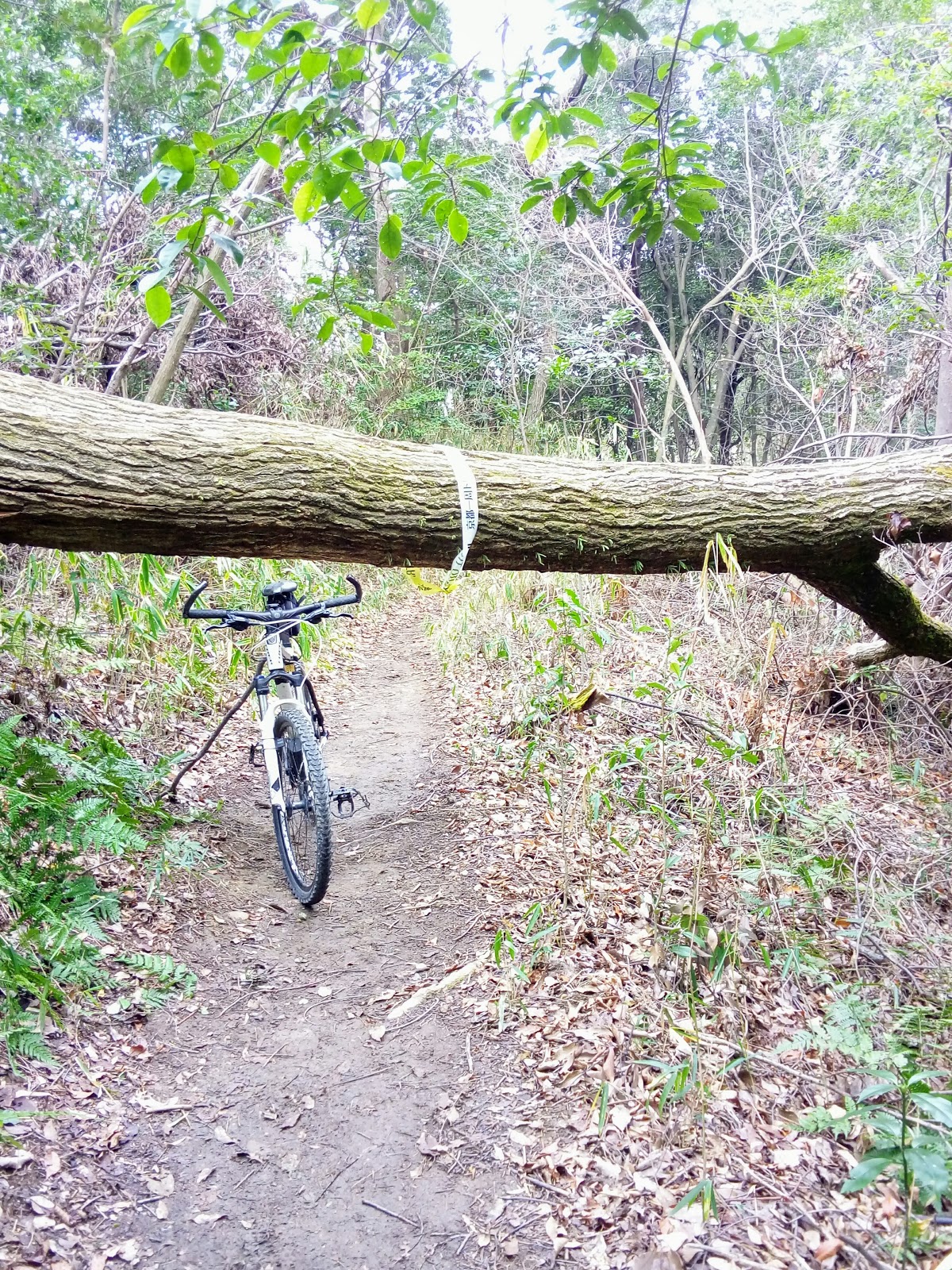
My descent from the top was uneventful, unlike the time, 10-years ago, when I tried my luck at cycling down. I'm not an adrenaline-junkie, at the best of times but, even if I was, this track scared the shit out of me. So I knew what was in store for me. In parts it was sweet, like in the image on the left, in others it required 100% concentration.
I emerged, unscathed, at the entrance to the Upper-Daigo-ji path. With my days hike almost over, I proceeded from here through the streets that led to the Yamashinagawa River. From there I followed the river through to the Rokujizo Station, arriving there at 2:30pm, not 5pm as I anticipated. As I still had enough hot-water in my flask for one more coffee, and a pack of sultana buns in my pack, I found a nice spot in the sun, and rewarded myself by relaxing and reminiscing of the days hike. I was buzzing. Looking back it was a great days hiking and I was more-than-satisfied.
So, as I usually say, it's been great sharing my experience with you, and thank-you for taking the time to read my post and, until next time -
Sayonara.
A few weeks ago I discovered this area, known as Hino-no Satoyama. It stretches from the southern border of Fushimi Ward, through to the area around Mt Daigoyama.
As mentioned earlier in this post, I hope to hike this area and, all going well, connect up with Daigoyama and the Upper Daigo-ji Temple.
My plan, at this stage, is to do a 'No Plan, Getting-Lost' hike and just see what I uncover. When I do, I will be sure to share my experience with all.


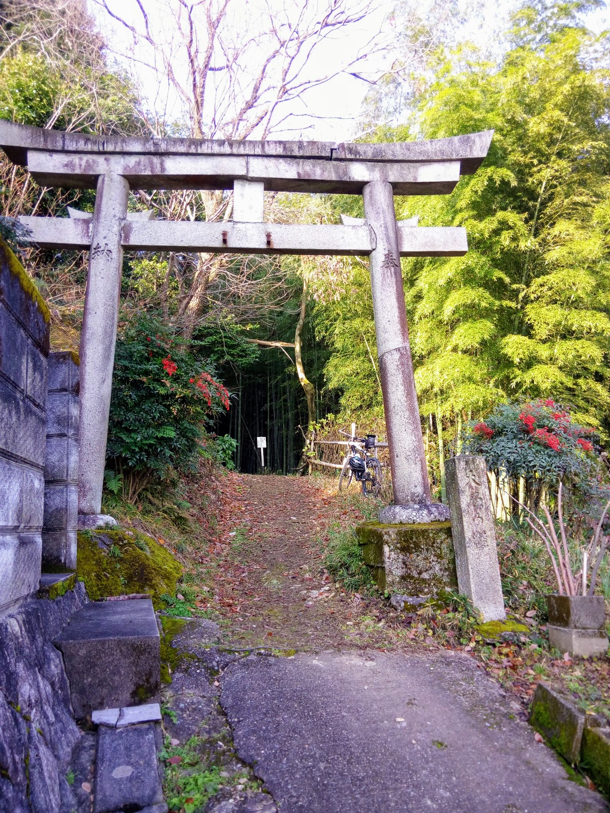

 Locking my bike to a fence, I proceeded on foot and, about a hundred meters up an incline, was a derelict collection of buildings and religious icons that added an eerie feeling to the site. This was Atago-jinja Shrine. Map location - https://goo.gl/maps/FcfoRB4Led12